


Probable Maps of an Improbable City: Student Work Showcase
UG students at Ashoka University collected data from 32 short stories and processed it in three different software environments to create rich and insightful visualization.

 0
0

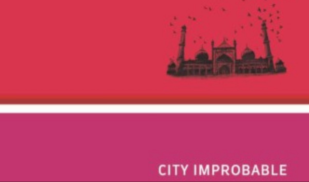
Khushwant Singh’s anthology of writing on Delhi, City Improbable, opens with a tantalizing question — Can Delhi ever be someone’s native city? The 48 different short stories, newspaper articles, travelogues, memoirs, and other writings that make up the collection, highlight the inscrutable nature of the city that has been a palimpsest of different peoples, cultures, and languages for thousands of years. The city seems, in many respects, unmappable. This spring semester, in a Digital Humanities (DH) course on Thick Mapping and Fuzzy Geodata, our class decided to capture this unnmappability by creating interpretive maps of the various narratives in the anthology. Though by no means conclusive, the maps produced by the students proved highly provocative.
Throughout the second half of the semester, the class worked collaboratively to come up with a data model that distinguished between different types of narrative spaces; geocoded each narrative; and created metadata for each author. This data was brought into Quantum GIS, where it was processed, queried, and analysed. Students then worked, with the unflagging help of Teaching Assistant, Saloni Bhogale, to bring the data into Mapbox and add interactive tools for user-driven data manipulation using HTML, CSS, and Javascript. In short, we collected data from 32 short stories and processed them in three different software environments to create a rich and insightful visualization that had to be intelligible to a user within 8-10 seconds.
While the data is far from conclusive, three broad patterns were revealed. First, in terms of narrative space, Delhi actually becomes smaller over time. As the city becomes more densely populated, the view shed decreases significantly and narratives tend to be far more localized. Second, the difference between male and female narrators was also telling. In the post-partition period, male narrators see most of Delhi, while women writers only see Central and South Delhi, though they mention other places. Finally, the Himalayas have a tremendous impact on what is seen and mentioned in these narratives. The majority of the places seen or mentioned outside Delhi fall on a NW to SW axis from Delhi. There were no mentions of any place beyond the Himalayas.
Though all students produced original takes on the multifaceted data set we created, as a class, several projects stood out. Apoorva Jakhar wrote about the gendered nature of narrative during the post-partition period, Shreya Gautam created a map of Muslim and Hindu narrative spaces pre- and post-partition, and Tanvi Mehta created a fascinating map of the linguistic distribution of narratives through time. Finally, one particularly exceptional map was that made by Yashi Jain, who incorporated external data to give her map more nuance and texture.
Going forward, Ashoka University will continue to work on this project, adding and refining data, incorporating new sources and rendering a more granular picture of how space is experienced by Delhiites throughout time. Ultimately, such a map would capture the constant state of flux that exemplifies Delhi, and to paraphrase in the eloquent words of Tanvi Mehta, the complexity of the map would resist “any one reading of it – it is an amalgam of culture and politics that wove in and out, and left Delhi in their trail.”
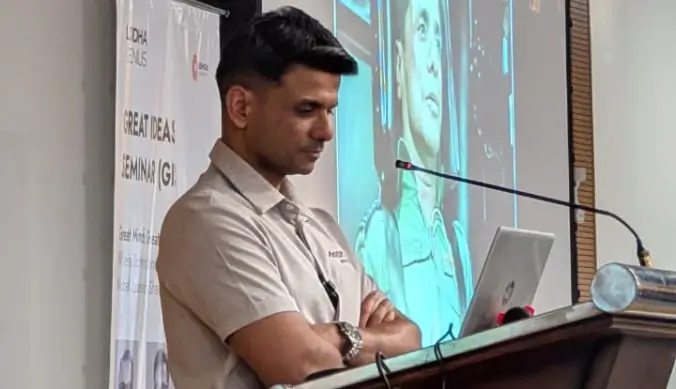
By Johannes Burgers, Assistant Professor of English and Digital Humanities, Ashoka University